Fort Hood Flood Warning Program
Introduction
In 2018, U.S. Army Garrison Fort Hood, Texas identified the need for a comprehensive Flood Warning Program and engaged Texas A&M AgriLife Research to help address the installation’s high-water safety needs. The program addresses multiple flood alert and preparation topics including management, documentation, data collection, and training. A multi-agency “Tiger Team,” composed of Fort Hood leadership, civilian experts, and Texas A&M AgriLife researchers is working in collaboration to develop products and procedures aimed at reducing flood and high-water risks at Fort Hood.
Program Mission
Provide accurate and consistent information, in useful forms, to military trainers, Fort Hood officials, Fort Hood families, other agencies, and the public to facilitate making flood and high-water safety decisions before, during, and after storm events to reduce the risk of property damage, injuries, and loss of life.
Background
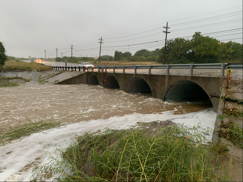
Fort Hood is located on the northern edge of the Texas Hill Country in southwestern Bell and southeastern Coryell counties. The area is characterized by rolling hills, shallow soils, woodlands, prairies, and rocky streams that are highly conducive to flash flooding. Fort Hood also lies in the middle of a curve that follows the Balcones Escarpment from Dallas to San Antonio and west to Uvalde. Here warm, moist air from the Gulf of Mexico often collides with cold fronts from the north resulting in atmospheric instability that produce heavy rainfall and rapid storm runoff. This area has the nickname “Flash Flood Alley” and carries a heavy burden of unfortunate accidents and loss-of-life statistics.
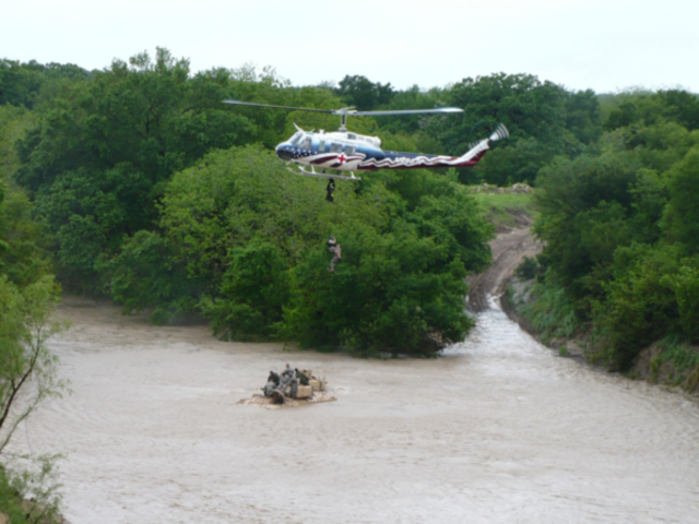
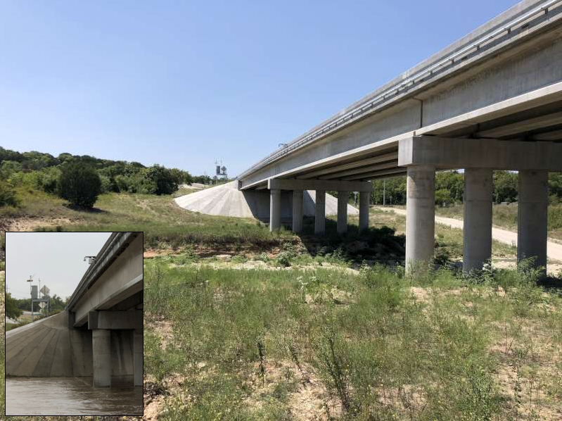
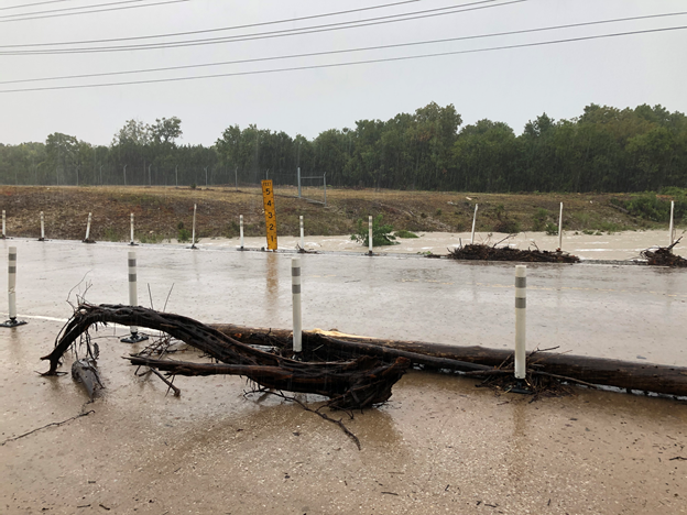
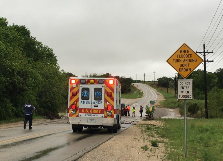
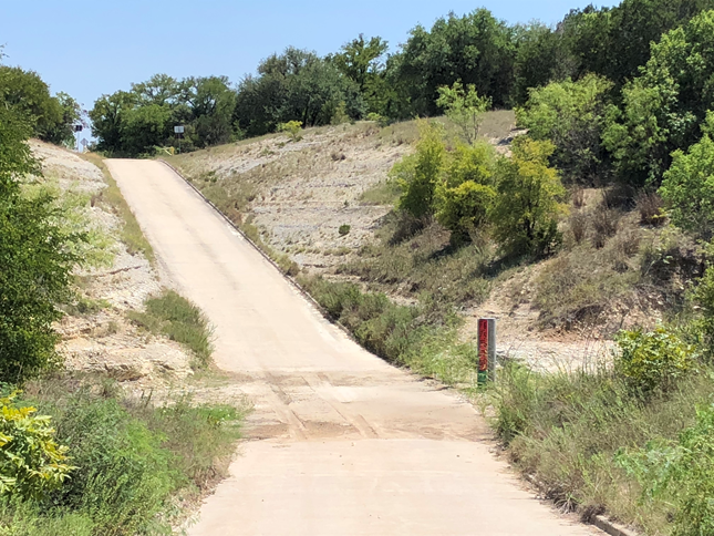
Flash flooding events pose an ever-present threat at Fort Hood where both military and civilian traffic must pass through numerous low water crossings daily. Most of the time these streams flow with waters less than a foot or two in depth but during periods of heavy rainfall they rapidly increase to dangerous, impassable conditions. During storm events Fort Hood officials from multiple agencies interact to consult a variety of data sources, evaluate rapidly evolving conditions, provide advisories and warnings, and coordinate response actions.
As floods are not an everyday occurrence, people often forget their devastating effects; remaining constantly vigilant is the most difficult part of operating a flood alert system. Texas A&M AgriLife is assisting Fort Hood officials with the refinement and documentation of high-water safety procedures to provide long-term stability of Fort Hood' Flood Warning Program.
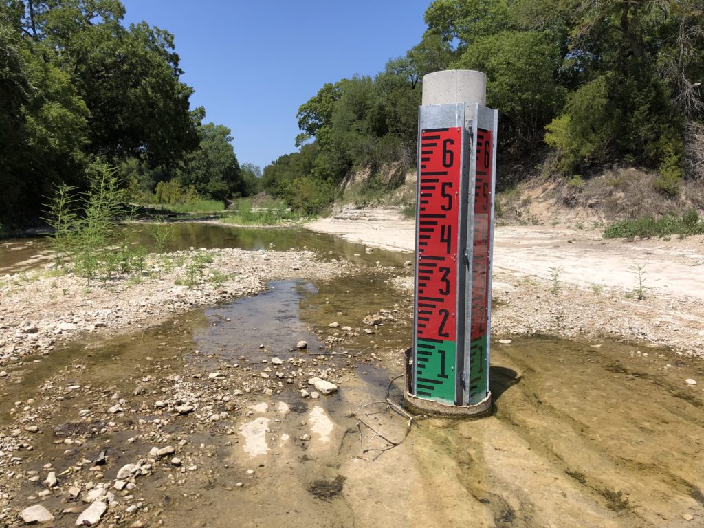
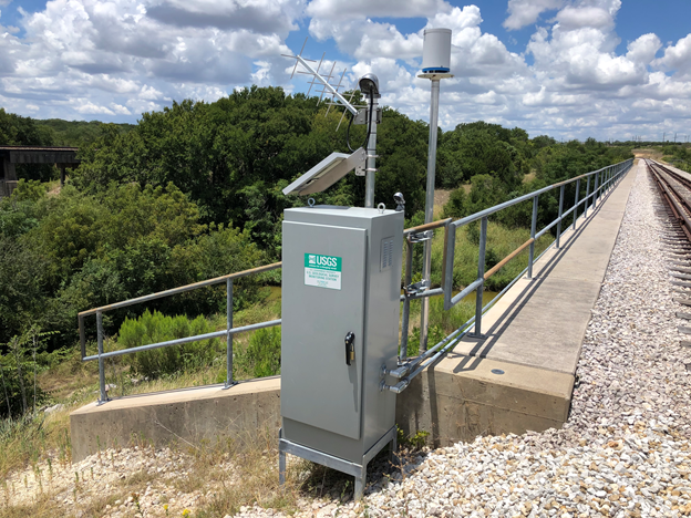
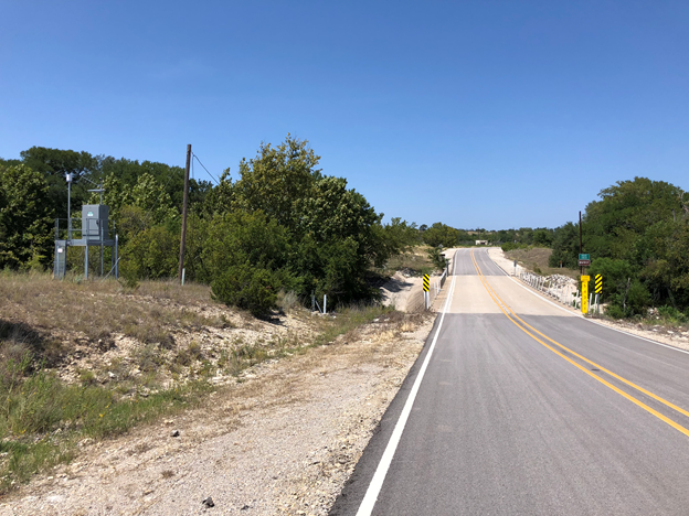
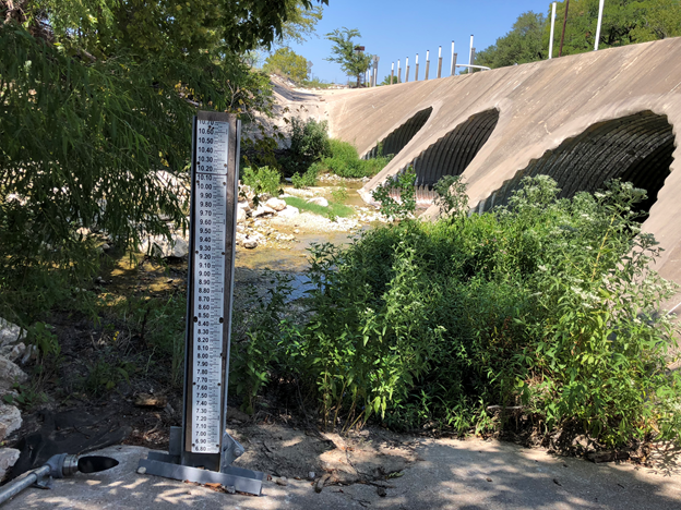
Fort Hood' Flood Warning Program operates electronic stream gauges located at the intersections of major streams and roadways in the western training areas. Information from these gauges is used by Fort Hood officials to monitor precipitation and stream water levels, issue alerts and warnings, and manage traffic at low-water crossings during storm events. Clicking on a gauge point in the interactive map below will deliver graphical information describing current water level and rainfall measured at that location. The gauges are maintained by Fort Hood through a contract with the US Geological Survey. Information from these, and additional Texas stream gauges, may also be accessed through the Texas Water Dashboard.
The Fort Hood Flood Warning Program is being assisted by the Water Science Laboratory (WSL) at the Texas A&M Blackland Research and Extension Center in Temple, TX.
Questions? Contact us!
Edward Anderson, Retired, Army SGM – Program Manager, Fort Hood Flood Warning Program
Edward.anderson@brc.tamus.edu
(254) 774-6036
June Wolfe, Associate Research Scientist, WSL Director – Principal Investigator, Fort Hood Flood Warning Program
jwolfe@brc.tamus.edu
(254) 774-6016